

We had a nice teaser of autumn weather last week with some areas getting their first light frost of the fall, but this week brought a return to above normal temperatures (perhaps record-tying today). And STILL no rain yet this month for the vast majority of us! How long does “late summer” last, when is the next (good) chance of rain, and most importantly how about trick-or-treat weather? Let’s dive in….
Starting with precipitation, a large percentage of our rainfall in the past 3 months has fallen in short bursts or from tropical remnants. Nearly all of August’s two and a half inches fell on the 30th after a long dry spell that lasted most of the month. Then, in September, the majority of the almost ten inches of rain we received was the result of the remnants of former hurricanes Francine and Helene.
Since the end of September, outside of a spot shower or sprinkles from a weak cold front, no rain has fallen at all. The summer drought conditions that carried into September were wiped out by the first of October, but we’re getting close to moving back into drought after a month of dry weather again! Unfortunately, as we’ll discuss below, we have about another week of mainly dry weather before the tide starts to turn and a wetter pattern may start to take shape.

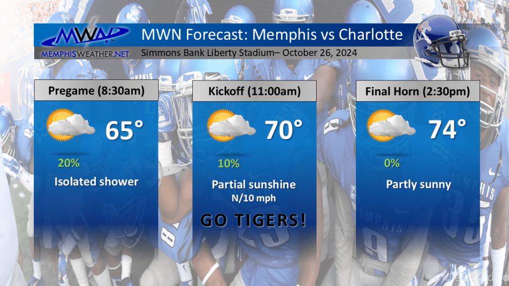
Speaking of rain, our next chance – albeit it minimal – arrives later tonight into Saturday morning as a cold front sinks into the Mid-South, bringing a temporary end to 80+ degree temperatures. Outside of that slight chance of rain, the weekend should be comfortable with highs in the low to mid 70s and a cool morning Sunday with a low near 50. Good weather for weekend fall festivals and the Memphis Tigers home game Saturday against Charlotte!
Once we get through a nice weekend though, high pressure builds back in and a breezy wind shifts back to the south, meaning warm temperatures return again next week. We’ll be looking at 80° or higher for high temperatures through mid-week with lows back in the mild 60s. Thursday is Halloween and of course that means plenty of outdoor time with trick-or-treating in full swing. And (OF COURSE) the best chance of rain since late September is on track for October 31.
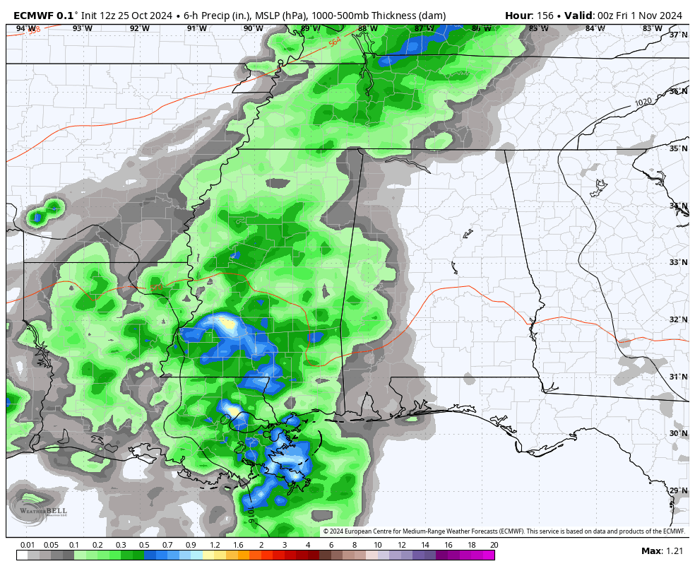
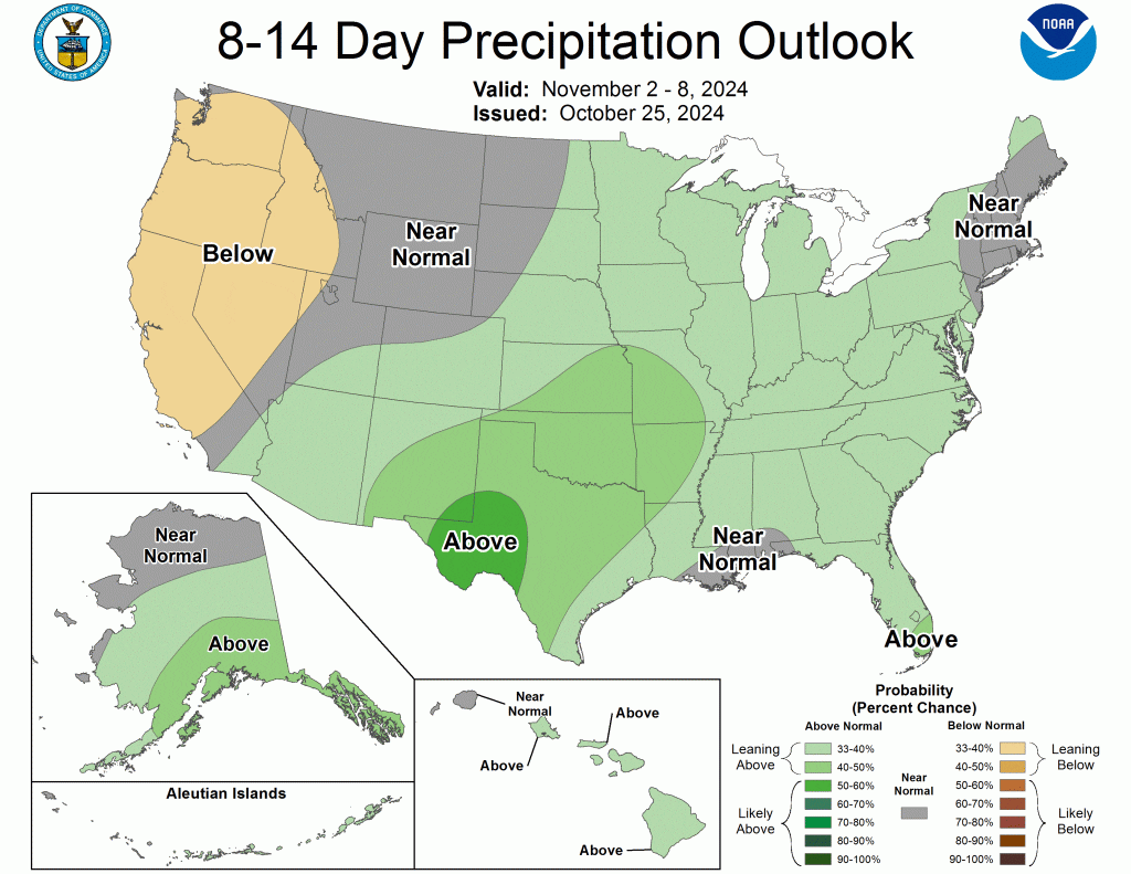
It’s much too early for timing and all, but a larger pattern shift will be taking place by the end of next week into the first weekend of November, and we could be seeing more wet days if trends hold. There appears to even be a chance of thunderstorms as this shift takes place, so we’ll keep an eye on Thursday’s forecast. At minimum, it won’t be cold – we’re looking at 70s for high temperatures that afternoon.
Erik Proseus
MWN Meteorologist
—
Follow MWN on Facebook, Twitter/X, BlueSky, Threads and Instagram for the routine updates every day!
Visit MemphisWeather.net for the latest weather information and our MWN Forecast for Memphis and the Mid-South
Looking for a way to support us? Click here for one-time or recurring options! Thank you!







