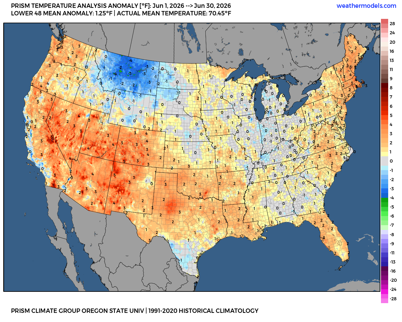
While most severe weather in the Mid-South occurs in the springtime, anyone who has lived in the area for long knows we are not immune to severe storms in a “secondary” season from late fall to early winter. Unfortunately, the atmosphere is setup to deliver a potentially major bout of storms to the Deep South today.
The most likely area for potent storms capable of damaging wind, large hail, and strong tornadoes lies to our south. However Memphis, and particularly north Mississippi, sit on the northern edge of the risk zone. Here is everything you need to know.

What is the timing?
Thunderstorms will start to move into the metro from the southwest just after the lunch hour – by 1-2pm. Rain, heavy at times, and thunderstorms will continue mostly unabated through the rest of the afternoon into the early evening. Precipitation should start to move east of us ahead of an approaching trough of low pressure between 8-10pm.
What are the threats?
With strong wind arriving in the mid to upper levels of the atmosphere and strong lifting of the air created by the approaching trough, severe weather is possible, particularly in north MS, with decreasing odds as you move north of Memphis. Areas generally along and north of I-40 are in the Level 1 (Marginal) severe weather risk zone, while areas south of I-40 are in a Level 2 (Slight) risk.

Strong to damaging wind is the main threat during the mid-afternoon to early evening hours. Hail is possible in some storms as well. A tornado or two cannot be ruled out, especially in the Slight Risk area, with higher chances well south of the metro.
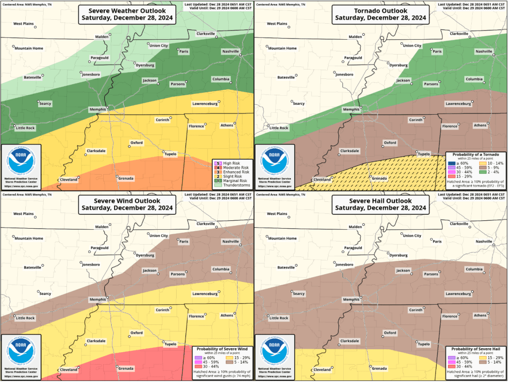
In addition, hours of rainfall – some of it likely heavy and training over the same areas – will produce multiple inches of rain. Widespread 2-3 inch totals are expected with some localized areas possible seeing 4-5 inches of rain. Flash flooding is a concern and the area is in a Level 2 (Slight Risk) area for excessive rainfall. That means there is at least a 15% chance of rainfall that could lead to flash flooding within 25 miles of your location.

How can I prepare?
Use this dry (and foggy) morning to ensure that you are prepared for the possibility of severe weather. If able, clear out gutters and storm drains so that water can flow unimpeded. Secure loose outdoor objects, like Christmas decor. Garage vehicles if you have the option. Stay in touch with your weather sources for any changes to threats or timing.
And of course, we recommend having multiple ways of receiving severe weather information, including commercial radio/TV, but also more personalized ways like NOAA Weather Radio and severe weather alert apps.

Fortunately, we have an app we highly recommend! StormWatch+ is our in-house mobile alert app that allows you to customize the alerts for multiple locations nationwide – including a “follow me” option, choose the types of alerts to receive, and even when you want to receive them.
Check it out at www.stormwatchplus.com or download it from your app store. The download is free and provides you with your local conditions, NWS forecast, radar and more, while subscribing to receive severe weather alerts is a nominal charge.
Erik Proseus
MWN Meteorologist
—
Follow MWN on Facebook, Twitter/X, BlueSky, Threads and Instagram for the routine updates every day!
Visit MemphisWeather.net for the latest weather information and our MWN Forecast for Memphis and the Mid-South
Looking for a way to support us? Click here for one-time or recurring options! Thank you!