


An Arctic blast was promised and Mother Nature delivered. Unfortunately for snow lovers, the most recent southern-style winter storm passed us by, dumping historic snowfall on the Gulf Coast.
A cold January continued this week
In a month that is posting well below average temperatures in the Mid-South, this week has only reinforced that trend. The first three weeks of January have averaged about seven degrees below normal. But this week, we’ve been closer to 20 degrees below, in what is climatologically the coldest part of the year.
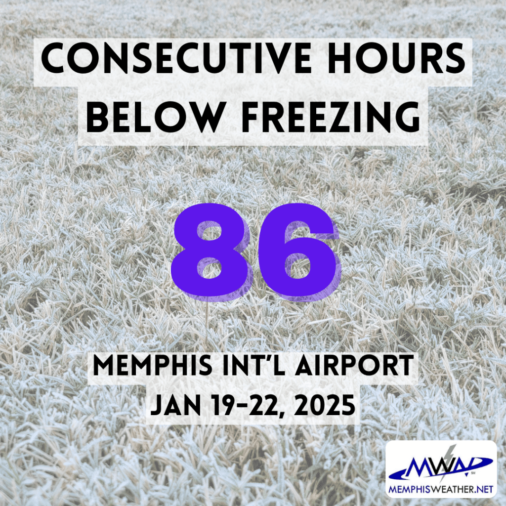
As the Arctic air arrived last Saturday, Memphis dropped below freezing Saturday night – and stayed there until this afternoon when we squeaked out four hours above freezing before dropping below 32 degrees again at sunset. Doing the math, that is 86 consecutive hours of sub-freezing temperatures.
Warmer weather ahead
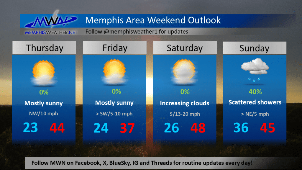
The forecast has some positive trends for those tired of wearing multiple layers. With the exception of Friday, afternoon high temperatures will be in the 40s (or even higher next week) for the foreseeable future. We still have a few more cold mornings ahead, but not as cold as the low of 12 recorded Thursday morning at Memphis International Airport.
Precipitation-wise, one more cold front moves through Thursday night and could bring a few snow flurries with it. Otherwise, by the time the next weak system rolls in Saturday night into Sunday, it’ll be warm enough for precipitation to be of the liquid variety.
Southern snow trends
If it seems like it has been particularly snowy in the south this month, you would not be wrong. The storm system that dropped 6-8 inches of snow on Memphis back on the 10th was fairly unusual. But to see an equal amount (or in some cases more) in southern Louisiana and multiple inches on our favorite Alabama and Florida panhandle beaches? Now THAT is rare.
Going back to 1948 when records started at New Orleans International Airport, the biggest snow “storm” was 2.7 inches on New Year’s Eve 1963. The eight-inch total recorded yesterday more than triples the previous record, with multiple locations in the New Orleans metro recording 8-10 inches. Even areas as far west as Houston received a blanket of snow with 2-4 inches covering the greater metro.
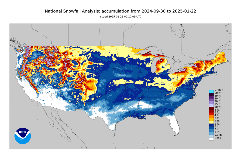
For comparison, the single-day snow totals from the Gulf Coast storm, as well as the Mid-South storm almost two weeks ago, are greater than many areas in the Corn Belt of northern Illinois, Iowa and Nebraska have received all winter, per the National Oceanic and Atmospheric Association (NOAA).
Erik Proseus
MWN Meteorologist
—
Follow MWN on Facebook, Twitter/X, BlueSky, Threads and Instagram for the routine updates every day!
Visit MemphisWeather.net for the latest weather information and our MWN Forecast for Memphis and the Mid-South
Looking for a way to support us? Click here for one-time or recurring options! Thank you!







